How digital twins in urban mobility help cities save billions of dollars

Cities cover only 3% of the planet’s land surface, and yet they are home to more than half of the population. Can you imagine that? With the growth of population, urban areas are getting crowded, which requires innovative solutions to ensure proper housing and transportation — all while complying with environmental and energy efficiency standards. That’s quite a challenge.
Urban mobility projects require a lot of resources, investments, and a long-term commitment. Because of how big and complex these projects can get, there is always a chance of realizing risks or faults a bit too late when the project is already in implementation.
But is there a way around this? How can urban planners test and analyze different scenarios before approving project implementation?
The value of digital twins in urban mobility
The digital twin technology first gained recognition at the beginning of the 21st century. However, it’s interesting to note that its roots go further back in history. In April 1970, no one could have predicted oxygen masks exploding shortly after Apollo 13 was launched.
It is little known that the entire crew was saved thanks to NASA investing in a digital twin model of Apollo 13. Engineers on the ground were able to test different options rapidly and come up with solutions quickly. This technology helped save lives in a very unambiguous way.
In the context of urban mobility, digital twins can help mitigate many risks by ensuring decision-makers have evaluated the project from all angles. They are virtual replicas of cities or region, used to run simulations before making any real-life changes.
Digital twins allow for intelligent planning, smart urban services, effective traffic management, and more. They enable key stakeholders to zoom out and take a full 360 view of the pros and cons of different solutions. With the rise of smart cities, digital twins remain the key to proper planning and a prerequisite for economic transformation.
According to the ABI Research report, cities are estimated to save up to $280 billion by 2030 “by using digital twins for more efficient urban planning.” Many metropolitan cities such as New York, Singapore, Helsinki, and more have been relying on this technology for years.
Here’s an example of Shangai’s digital twin created by 51World. Thanks to this digital twin of the biggest city in China, designers can simulate ideas in the live city environment before they are constructed. The impact of decisions, from where to position a bus stop to how large a new housing development should be, can be understood in advance.
Smaller cities are catching up as well. Stuttgart, for instance, collaborated with tech companies to create an Internet of Things (IoT) platform that helps them monitor water quality, flood levels, parking occupancy, and more.
How the technology behind digital twins works
Creating a digital twin comes down to replicating a physical asset in the virtual environment. This replica includes functionalities, features, and behavior of the object (or system or process). But how is this virtual representation connected to its real-world counterpart?
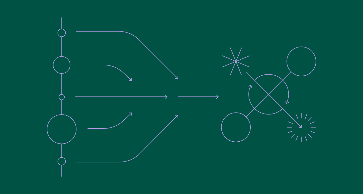
Digital twins are based on data and algorithms. They collect data from various sources such as sensors, IoT devices embedded in the infrastructure (e.g., traffic cameras), GPS, or satellite imagery. This data can then be refined and fed to the algorithms. In many cases, there is a plethora of data available, at least for getting the Proof of Concept (POC), but it’s still necessary to process the data and create a single dataset meaningfully to get value from it.
Thanks to communication protocols and interoperability standards, data can be seamlessly integrated into the digital twin – and be continuously updated. This is what allows for not only real-time monitoring but also predictive analytics. The potential grows even more with the implementation of artificial intelligence and machine learning. Fast pattern mapping can help cities maximize the efficiency of their public transportation and optimize it in real time.
The quality of insights you get depends on the amount and quality of data you collect. This is why data sharing in mobility is so important. Only then will the governments have what they need to understand how public spaces function, what’s needed for improvements, and how to get there. It’s not just a matter of having a more efficient transportation system but answering the needs of citizens and coming up with innovative ways to enable movement through the city.
Use cases for digital twins in urban mobility
Digital twins can transform the way cities plan, manage, and optimize their transportation systems. From traffic management and public transportation planning to smart parking solutions and EV infrastructure planning – the list goes on. Let’s take a look at the most interesting examples.
Launching MaaS trials
Mobility as a Service (MaaS) refers to a concept where various transportation services get integrated and offered as a single, comprehensive solution. For example, instead of owning a car or relying on buses, taxis, or bikes, MaaS aims to provide users with a seamless and convenient way to plan, book, and pay for their entire journey using a single platform or app.
So, what would this mean for the future of cities? Digital twins can help city planners create a more convenient and cost-efficient way for citizens to commute. They can choose between public transit, ride-sharing, bike-sharing, and more.
Rise in micro-mobilityIn Europe and around the world, micro-mobility and ride-sharing are becoming increasingly popular. However, a significant portion of vehicles often wait for users. The data from digital twins could help optimize the placement of available vehicles, and increase the chances of them being used. This strategic positioning could serve as a valuable addition to existing public transportation, providing users with attractive alternatives during peak times. This approach enhances the Gross Profit Margin (GPM) and Return on Investment (ROI). |
Traffic management and optimization
Digital twins allow city leaders to monitor, analyze, and control traffic in real-time. If there are any traffic jams, bottlenecks, or decreased traffic safety areas, digital twins will be able to signal that so that people can react promptly. Because you are continuously feeding digital twins with real data, they can also present predictive models. These help authorities anticipate traffic hotspots and be more proactive in mitigating congestion before it occurs.
Traffic signal controls, route optimizations, incident management, and more are also common ways to leverage the technology in this context. For example, imagine having a comprehensive view of the road network. You could see things like accidents, road constructions, or closed roads (for whatever reason), or even get immediate alerts. This way, you could quickly send emergency crews in case of an accident or improve signalization to avoid slower traffic flow.
The power of having a digital twin in this context is that it gives you a bird’s eye view of the traffic state and the ability to act quickly if necessary.
The Oslo case study: How autonomous vehicles (AVs) can help reduce traffic congestionThe city of Oslo has conducted a study to ensure that the city’s mobility network is well-prepared for AVs. The study showed that AVs can indeed help reduce traffic, but only when integrated into a larger mobility system. The biggest reduction in traffic happened when users of public transport continued to rely on it while car drivers switched to ridesharing (14% of traffic reduction across the study). |
Electric vehicle (EV) infrastructure planning
The Edison Electric Institute (EEI) estimates that over 26 million electric vehicles will be on US roads in 2030. This signals an increase in demand for EVs, meaning cities need to be properly prepared. So, how can digital twins help here?
There are two main things digital twins can help with here:
- Charging station placement
- Grid integration
Digital twins can analyze current demand to provide data on the projected demand and support the increasing adoption of EVs with a sufficient amount of charging stations. They can even use geospatial data to suggest the best locations and calculate things like proximity to major roads and population density. In this way, not only will current EV owners enjoy a sufficient amount of charging stations but the projected number of new users will also be covered.
In terms of grid integration, digital twins can simulate the impact of EV charging on the electrical grid. They can assess the capacity of existing infrastructure, map out potential grid upgrades, and optimize the integration of charging stations. They can also help prevent overloading during peak charging times (load balancing).
The revolution is just getting started
With digital twins, public authorities have a very powerful tool at their disposal. The impact this technology has made is just the beginning. When you think about the alternative models of transportation, the potential to reduce congestion, the infrastructure that adjusts to the needs of modern citizens or underserved users – digital twins can help tremendously.
Looking beyond just urban mobility, city leaders can also monitor transportation-related air quality emissions and concentrations. Digital twins are smart enough to draw conclusions based on traffic characteristics, traffic composition, meteorology, and more. On top of that, understanding and improving noise emissions and energy usage is easier and faster thanks to digital twins.
According to M2050, 500 cities will launch digital twins by 2025. City leaders and planners will use these intelligent models to create better cities for the future – both in terms of transportation infrastructure, housing solutions, and the decrease of the city's carbon footprint.
Want to learn more about digital twins and the possible applications of it? Talk to experts, and get in touch with Vega IT.


